Issued at: 12:30 p.m. on Tuesday March 11, 2025
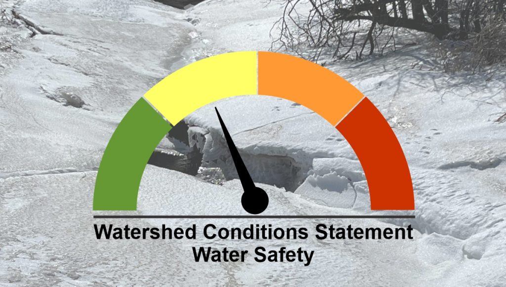
The Maitland Valley Conservation Authority has issued a Watershed Conditions Statement – Water Safety for all municipalities in the Maitland and Nine Mile River watersheds.
Mild daytime temperatures with freezing overnight temperatures will result in moderate melt of the snowpack and runoff over the next few days. By Friday and Saturday temperatures are forecast to reach up to 15℃, which will likely lead to a full melt and a much stronger river response.
While windswept fields appear bare, the snowpack still holds significant water content throughout most of the watershed. Measurements from a snow survey conducted by Maitland Conservation staff yesterday (Monday, March 10) showed the snow water equivalent ranged from 75 to 115mm, with higher amounts generally found in forested areas. A survey of river ice yesterday confirmed that watercourses are generally ice-free and blockages from last week’s ice jams have cleared.
The moderate melt today and tomorrow may result in river levels approaching bankfull over the next few days, leading to minor ponding in typical low-lying areas. However, greater impacts are expected this weekend as the bulk of the melt is anticipated on Friday and Saturday. The combined melt, saturated ground conditions and additional rainfall will accelerate runoff, causing river levels to rise significantly through the weekend. Levels will remain high into next week. The potential for more significant flooding will depend on rainfall.
Municipal officials are encouraged to check drainage systems and monitor low-lying and flood prone roads. We remind people that slippery and unstable streambanks and fast-moving cold water will create hazardous conditions around all watercourses.
Maitland Conservation is monitoring watershed conditions and will upgrade to a Flood Watch if warranted.
This message is in place until the afternoon of Monday March 17, 2025.
Contact:
Jeff Winzenried, Flood Forecasting Supervisor
jwinzenried@mvca.on.ca
Types of Flood Messages:
Watershed Conditions Statement – Flood Outlook – Early notice of the potential for flooding based on weather forecasts calling for heavy rain, snow melt, high wind or other conditions that could lead to high runoff, cause ice jams, lakeshore flooding or erosion
Watershed Conditions Statement – Water Safety – General watershed conditions are being assessed for high runoff potential that could lead to flooding, and to remind the public of general river safety issues.
Flood Watch – Flooding is possible in specific watercourses or municipalities. Municipalities, emergency services and individual landowners in flood-prone areas should prepare.
Flood Warning – Flooding is imminent or already occurring in specific watercourses or municipalities. Municipalities and individuals should take action to deal with flood conditions. This may include road closures and evacuations.