Maitland Conservation has issued a Watershed Conditions Statement – Flood Outlook/Water Safety for all municipalities in the Maitland and Nine Mile River watersheds.
Mild temperatures have moved into the region causing the snowpack to begin to condense. As of this afternoon, weather forecasts are predicting a significant freezing rain event with 5-10 mm of ice accretion (locally up to 15 mm), beginning late tonight and continuing through Wednesday evening. Air temperatures are expected to remain at or just below the freezing mark.
Snow survey measurements completed today (Tuesday, February 17th) indicate that snow water equivalent across the watershed remains fairly consistent, ranging from 90-120 mm. With temperatures forecast to remain below freezing over the coming days, significant snowmelt runoff is not expected at this time.
The primary flood concern over the next several days is river ice breakup and ice jam formation, rather than melt-driven flooding. Forecasted precipitation, even with limited melt, may be sufficient to increase river flows and water levels enough to initiate ice breakup. Rising water levels can destabilize existing river ice, leading to ice movement and the potential for localized jams. Ice jams are highly unpredictable and may form, shift, worsen or release suddenly. These blockages can cause rapid changes in water levels and localized flooding, even in non-traditional areas.
Municipal officials are encouraged to monitor drainage systems, low-lying areas, bridges, culverts, and flood-prone roads. While ice jams can form anywhere, higher risk locations include bridge crossings, channel constrictions, sharp river bends and tributary confluences. Maitland Conservation is asking municipalities to report any observed ice jam activity or unusual water level changes.
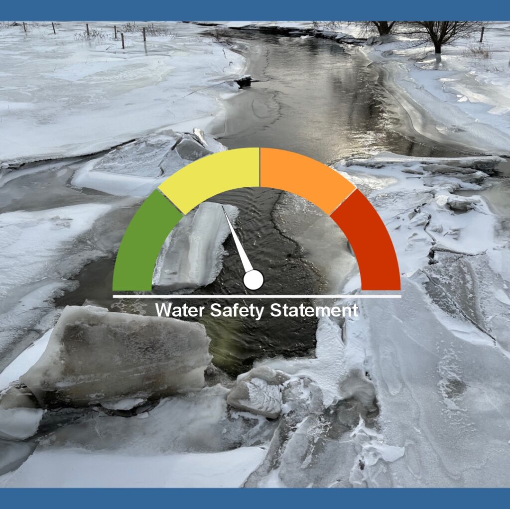
Members of the public are reminded that river ice conditions remain dangerous. Weakening ice and condensing snow cover over watercourses will create unstable surfaces. Residents are advised to stay well back from all watercourses and keep children and pets away from ice covered or drifted channels.
These conditions are expected to persist over the next several days. Maitland Conservation will continue to monitor watershed conditions and provide updates as warranted.
This message is in effect until 9:00 a.m. Monday, February 23rd, 2026.
Contact:
Jeff Winzenried, Flood Forecasting Supervisor
jwinzenried@mvca.on.ca
Types of Flood Messages:
Watershed Conditions Statement – Water Safety – General watershed conditions are being assessed for high runoff potential that could lead to flooding, and to remind the public of general river safety issues.
Watershed Conditions Statement – Flood Outlook – Early notice of the potential for flooding based on weather forecasts calling for heavy rain, snow melt, high wind or other conditions that could lead to high runoff, cause ice jams, lakeshore flooding or erosion
Flood Watch – Flooding is possible in specific watercourses or municipalities. Municipalities, emergency services and individual landowners in flood-prone areas should prepare.
Flood Warning – Flooding is imminent or already occurring in specific watercourses or municipalities. Municipalities and individuals should take action to deal with flood conditions. This may include road closures and evacuations.