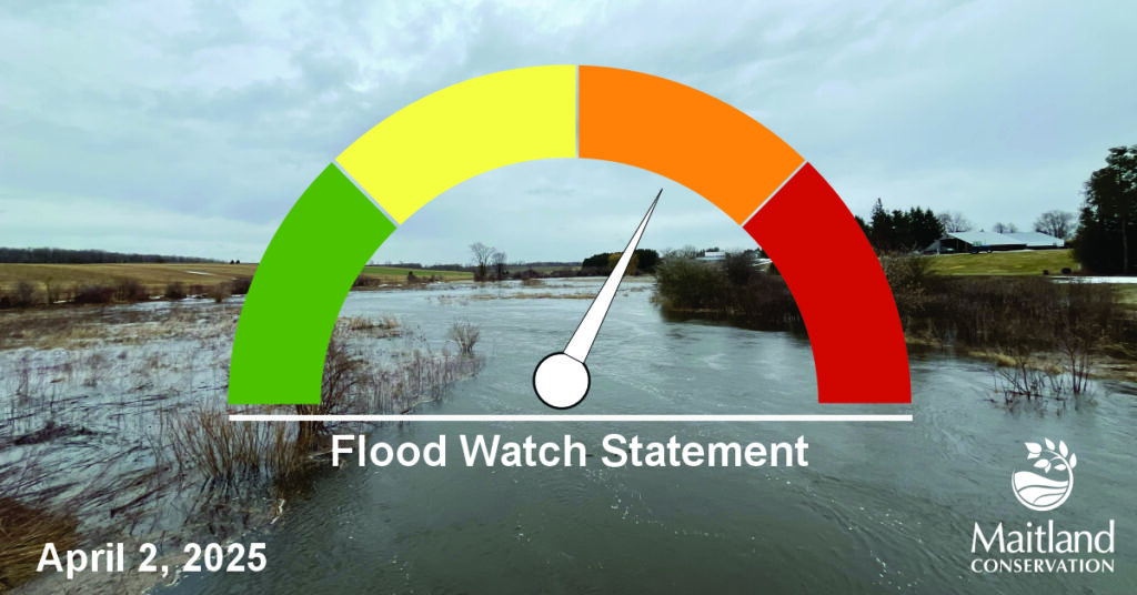
Issued at: 10:30 a.m. Wednesday April 2, 2025
The Maitland Valley Conservation Authority has issued a Flood Watch for all municipalities in the Maitland and Nine Mile River watersheds.
A Flood Watch means that flooding is possible but not imminent or certain.
A large Colorado Low will bring heavy rain to southern Ontario beginning this afternoon and continuing through tomorrow morning. Forecasted rain amounts have decreased slightly, with 40-50mm expected across the watersheds. Embedded thunderstorms will bring the risk of localized higher rainfall totals. Forecasts indicate that the heaviest rainfall may track through the southern half of the watershed.
Up to 50mm of rainfall will result in streams and rivers exceeding bankfull and cause minor flooding beyond typical low-lying areas. Impacts are expected to be similar to the recent March 16-17th high flow event. River levels will climb rapidly overnight, with peak flows anticipated between Thursday afternoon and Friday night. Flows may remain high for an extended period and carry into the weekend.
Due to saturated ground conditions and previously elevated flows, the Maitland and Nine Mile River watersheds are at a heightened risk for generating intense runoff and a strong river response. There is the potential for much more significant flooding, especially for areas that receive additional rain from embedded thunderstorms.
Municipal officials are encouraged to check drainage systems, monitor low-lying and flood prone roads and prepare for potential road closures. Residents should exercise caution near all watercourses, as slippery and unstable streambanks and fast-moving cold water will create hazardous conditions.
This message is in effect until 9: a.m. on Friday, April 4, 2025, unless local conditions warrant further updates.
Contact:
Sarah Gunnewiek, Water Resources Engineer
sgunnewiek@mvca.on.ca
Types of Flood Messages:
Watershed Conditions Statement – Water Safety – General watershed conditions are being assessed for high runoff potential that could lead to flooding, and to remind the public of general river safety issues.
Watershed Conditions Statement – Flood Outlook – Early notice of the potential for flooding based on weather forecasts calling for heavy rain, snow melt, high wind or other conditions that could lead to high runoff, cause ice jams, lakeshore flooding or erosion.
Flood Watch – Flooding is possible in specific watercourses or municipalities. Municipalities, emergency services and individual landowners in flood-prone areas should prepare.
Flood Warning – Flooding is imminent or already occurring in specific watercourses or municipalities. Municipalities and individuals should take action to deal with flood conditions. This may include road closures and evacuation s.
