Ice Jams Impacting Lower Maitland and Nine Mile Rivers
A polar vortex has brought frigid air to the area and will persist well into the week. The combination of streamflow from the previous brief thaw and cold air temperatures may cause frazil ice formation. This will heighten the risk of ice jamming and localized flooding in areas prone to this issue including Port Albert.
It is difficult to predict where ice jams will form and how long they will persist. Residents are reminded not to attempt to drive or walk through flooded areas. Conditions can change rapidly, and access routes can quickly be cut-off.
Maitland Conservation staff will be closely monitoring conditions, particularly in the Port Albert area, over the next week and will provide an update if conditions change.
This message will remain in place until 4:00 p.m. on Friday January 30, 2026.
Contact:
Sarah Gunnewiek, Water Resources Engineer
sgunnewiek@mvca.on.ca
Types of Flood Messages:
Watershed Conditions Statement – Water Safety – General watershed conditions are being assessed for high runoff potential that could lead to flooding, and to remind the public of general river safety issues.
Watershed Conditions Statement – Flood Outlook – Early notice of the potential for flooding based on weather forecasts calling for heavy rain, snow melt, high wind or other conditions that could lead to high runoff, cause ice jams, lakeshore flooding or erosion.
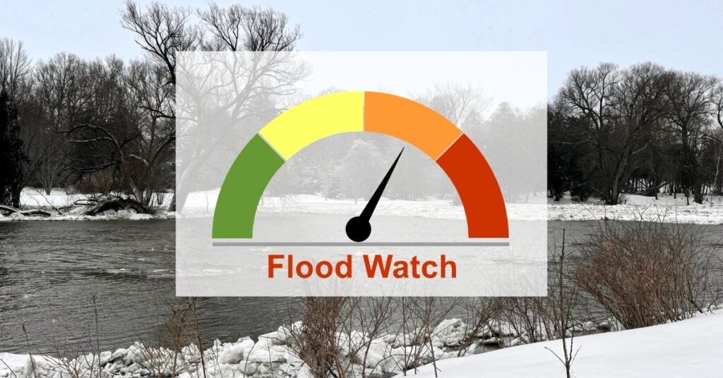
Flood Watch – Flooding is possible in specific watercourses or municipalities. Municipalities, emergency services and individual landowners in flood-prone areas should prepare.
Flood Warning – Flooding is imminent or already occurring in specific watercourses or municipalities. Municipalities and individuals should take action to deal with flood conditions. This may include road closures and evacuations.