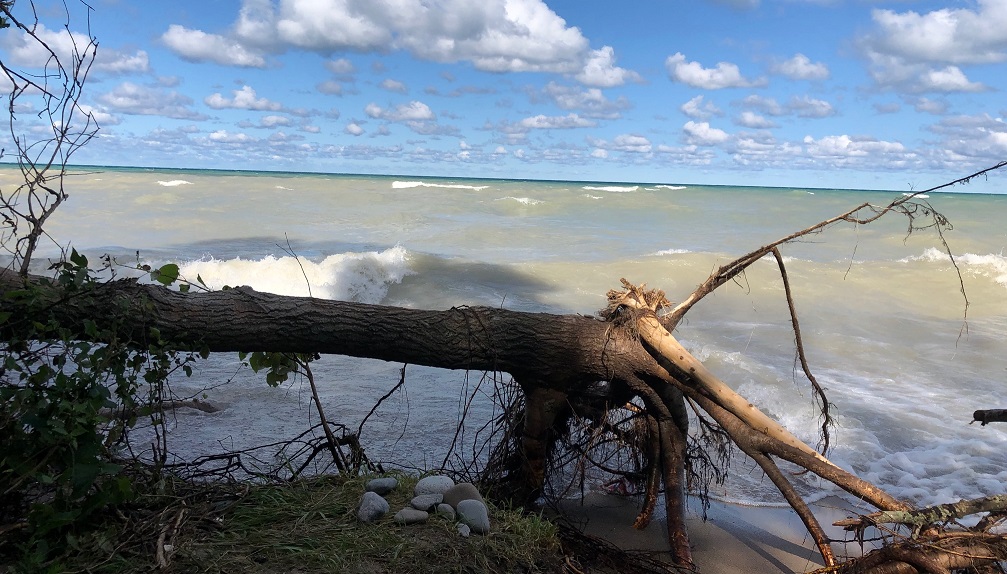
Strong winds expected to cause flooding and erosion problems
A low pressure system tracking towards Ontario is expected to bring a cold front with strong northwest winds and lake effect snow to the Lake Huron shoreline Sunday night. Winds of 35-50 km/hr will begin early Sunday morning and shift from the south to northwest into the afternoon. Peak gusts of 70-100 km/hr are forecasted for Sunday night into Monday morning. Gusts of 40-60 km/hr will likely continue until Tuesday morning. These strong, sustained northwest winds will produce significant wave heights. Combined with seasonally near record-high water levels on Lake Huron, wave action will reach far up the shoreline and bluff areas. Continued widespread erosion of both beaches and the lakeshore bluff is expected and flooding is expected in low-lying coastal areas.
Residents are reminded to stay well back from breaking waves. In addition, people should stay away from top-of-bluff areas during and after the storm in case there has been any movement of the lake bank. It is important to remember that there may be a delay between erosion at the toe (bottom) of the bluff and subsequent bluff failure.
This message will remain in effect until 6:00 p.m. on Tuesday November 3, 2020, unless local conditions warrant further updates. Maitland Conservation will continue to monitor conditions and will provide an update if required.
Contact:
Stephen Jackson, Flood and Erosion Safety Services Coordinator
sjackson@mvca.on.ca or 519-357-0890
Media Inquiries:
Jayne Thompson, Communications and GIS-IT Coordinator
jthompson@mvca.on.ca or 519-357-6670

Types of Flood Messages:
Watershed Conditions Statement – Water Safety – General watershed conditions are being assessed for high runoff potential that could lead to flooding, and to remind the public of general river safety issues.
Watershed Conditions Statement – Flood Outlook – Early notice of the potential for flooding based on weather forecasts calling for heavy rain, snow melt, high wind or other conditions that could lead to high runoff, cause ice jams, lakeshore flooding or erosion.
Flood Watch – Flooding is possible in specific watercourses or municipalities. Municipalities, emergency services and individual landowners in flood-prone areas should prepare.
Flood Warning – Flooding is imminent or already occurring in specific watercourses or municipalities. Municipalities and individuals should take action to deal with flood conditions. This may include road closures and evacuations.
