• Home
  • About Us
    • Introduction
    • Governance
      • Board Meeting Agendas/Minutes
    • Maps/Documents/Publications
    • Employment Opportunities
    • Tenders / RFP’s
    • Staff Directory
    • Upcoming Events
  • Stewardship Programs
    • Tree Planting Programs
    • Water Quality Programs
    • Watershed Monitoring and Reporting
    • Carbon Footprint Initiative
      • Carbon Footprint Initiative – Downloads
    • Cover Crops and Soil Health
  • Camping
    • Falls Reserve Conservation Area
    • Wawanosh Park CA
  • Conservation Areas
  • Watershed Conditions
    • Flood & Erosion Safety Services
    • Types of Flood Notices
    • Flood Notices
    • Low Water Bulletins
  • Planning & Regulations
    • Regulations & Permits
    • Shoreline Regulations
    • Lake Huron Shoreline
  • Foundation
    • Maitland Conservation Foundation
    • John Hindmarsh Environmental Trust Fund
  • Contact Us

Contact Us! 519-335-3557

Find us on Map
[email protected]
Maitland Valley Conservation AuthorityMaitland Valley Conservation Authority
Administration Centre
1093 Marietta Street, Box 127
Wroxeter, ON N0G 2X0
519-335-3557
  • Home
  • About Us
    • Introduction
    • Governance
      • Board Meeting Agendas/Minutes
    • Maps/Documents/Publications
    • Employment Opportunities
    • Tenders / RFP’s
    • Staff Directory
    • Upcoming Events
  • Stewardship Programs
    • Tree Planting Programs
    • Water Quality Programs
    • Watershed Monitoring and Reporting
    • Carbon Footprint Initiative
      • Carbon Footprint Initiative – Downloads
    • Cover Crops and Soil Health
  • Camping
    • Falls Reserve Conservation Area
    • Wawanosh Park CA
  • Conservation Areas
  • Watershed Conditions
    • Flood & Erosion Safety Services
    • Types of Flood Notices
    • Flood Notices
    • Low Water Bulletins
  • Planning & Regulations
    • Regulations & Permits
    • Shoreline Regulations
    • Lake Huron Shoreline
  • Foundation
    • Maitland Conservation Foundation
    • John Hindmarsh Environmental Trust Fund
  • Contact Us

Flood Watch Issued

Flood Watch Issued

March 14, 2025


Issued at: 09:00 a.m. Friday March 14, 2025

The Maitland Valley Conservation Authority has issued a Flood Watch for all municipalities in the Maitland and Nine Mile River watersheds. A Flood Watch means that flooding is possible but not imminent or certain.

Runoff from remaining snowmelt combined with additional rainfall and near-saturated ground conditions has the potential to elevate river levels to flood stage. A snow survey carried out yesterday (Thursday, March 13th) by Maitland Conservation staff confirmed that 60 to 100mm of snow water equivalent remains in the snowpack, with higher amounts generally found in northern and forested areas of the watershed. A near-complete melt is expected today and tomorrow, along with up to 25mm of rainfall which is forecasted overnight Saturday through Sunday morning. Some forecasts indicate the possibility of embedded thunderstorms, which could lead to localized higher rainfall totals.

If forecasted rainfall amounts materialize, river levels could reach those experienced in December 2008. Water levels will rise quickly throughout Saturday, likely exceeding bankfull and causing riverine flooding beyond typical low-lying areas. Peak flows are anticipated between Sunday morning and Monday night. Cresting flows may carry into Tuesday for downstream portions of the watershed.

Municipal officials are encouraged to check drainage systems, monitor low-lying and flood prone roads and prepare for road closures. We remind everyone that slippery and unstable streambanks and fast-moving cold water will create hazardous conditions around all watercourses.

Maitland Conservation will provide an update when conditions change.

Contact:
Jeff Winzenried, Flood Forecasting Supervisor
[email protected]

Types of Flood Messages:

Watershed Conditions Statement – Flood Outlook – Early notice of the potential for flooding based on weather forecasts calling for heavy rain, snow melt, high wind or other conditions that could lead to high runoff, cause ice jams, lakeshore flooding or erosion.

Watershed Conditions Statement – Water Safety – General watershed conditions are being assessed for high runoff potential that could lead to flooding, and to remind the public of general river safety issues.

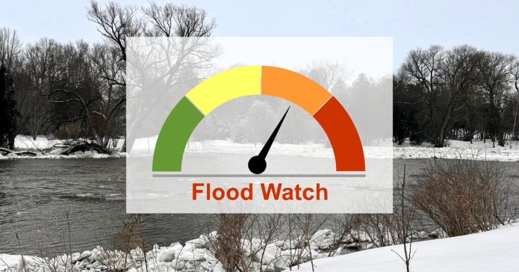
Flood Watch – Flooding is possible in specific watercourses or municipalities. Municipalities, emergency services and individual landowners in flood-prone areas should prepare.

Flood Warning – Flooding is imminent or already occurring in specific watercourses or municipalities. Municipalities and individuals should take action to deal with flood conditions. This may include road closures and evacuations.

Share

Recent Posts

  • Stocked Pond Opens April 26
  • Watershed Conditions Statement – Water Safety
  • Flood Watch
  • Flood Outlook for April 1 – 3, 2025
  • Yes, you can still order trees!

Archives

Working for a Healthy Environment

Recent Posts

  • Stocked Pond Opens April 26
  • Yes, you can still order trees!
  • Falls Reserve – Closed Until April 25
  • Hunting on Maitland Conservation Properties
  • Extension of Minister’s Direction to Not Change Fees

Partner Links

Ausable Bayfield Maitland Valley
Source Protection Region

A Member of Conservation Ontario

Healthy Lake Huron

Carbon Footprints to Forests

Follow Us on Facebook

© 2025 · Maitland Valley Conservation Authority.

  • Home
  • Sitemap
  • Privacy Policy
  • Contact Us
Prev Next