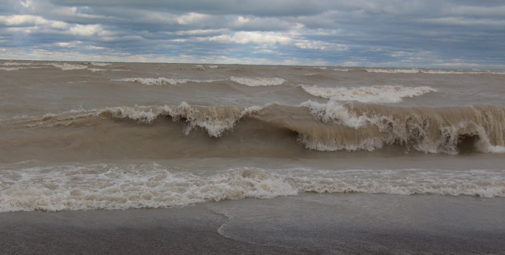
A large and intense low-pressure system is forecast to move into southern Ontario today (Monday, November 30, 2020), bringing with it an extended period of strong winds and waves to the Lake Huron Shoreline. Winds will strengthen out of the north later today, with sustained wind speeds of nearly 50 km/hr over water, and gusts exceeding 70 km/hr. These winds will shift northwest tomorrow and remain strong into Wednesday before gradually decreasing late in the day. The extended duration of this event will result in higher than normal waves hitting shoreline areas for a prolonged period of time.
Temperatures are currently forecast to hover close to zero degrees Celsius. If the temperature drops below zero, freezing spray may accumulate on structures near the water.
In addition to flooding of low-lying coastal areas, continued erosion of the lakeshore bluff and beach areas is expected. Residents and municipal officials are reminded to stay well back from breaking waves. In addition, people should stay away from top-of-bluff areas in case there has been any movement of the lake bank. It is important to remember that there may be a delay between erosion at the toe (bottom) of the bluff and subsequent bluff failure.
This message will remain in effect until 9:00 a.m. on Thursday, December 3, 2020, unless local conditions warrant further updates. Maitland Conservation will continue to monitor watershed conditions and will provide an update if required.
Contact:
Stephen Jackson, Flood and Erosion Safety Services Coordinator
sjackson@mvca.on.ca or 519-357-0890
Media Inquiries:
Jayne Thompson, Communications Coordinator
jthompson@mvca.on.ca or 519-335-3557 ext. 226

Types of Flood Messages:
Watershed Conditions Statement – Water Safety – General watershed conditions are being assessed for high runoff potential that could lead to flooding, and to remind the public of general river safety issues.
Watershed Conditions Statement – Flood Outlook – Early notice of the potential for flooding based on weather forecasts calling for heavy rain, snow melt, high wind or other conditions that could lead to high runoff, cause ice jams, lakeshore flooding or erosion.
Flood Watch – Flooding is possible in specific watercourses or municipalities. Municipalities, emergency services and individual landowners in flood-prone areas should prepare.
Flood Warning – Flooding is imminent or already occurring in specific watercourses or municipalities. Municipalities and individuals should take action to deal with flood conditions. This may include road closures and evacuations.
