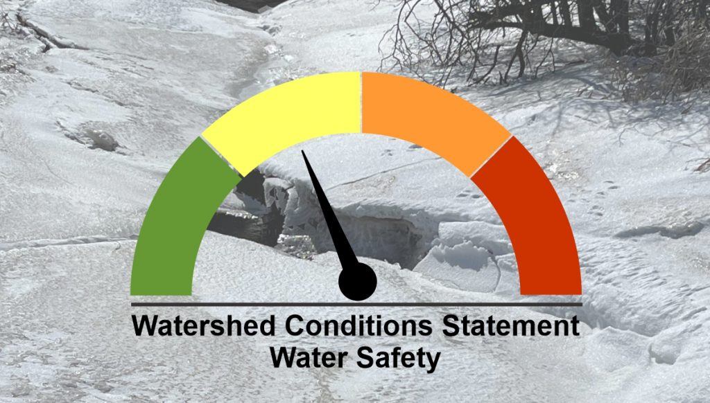
Watershed Conditions Statement – Water Safety
A stretch of mild temperatures is expected over the next few days followed by a period of widespread rain this weekend. Temperatures are forecast to reach a high of 17°C Thursday and remain above the freezing point through Saturday. This duration of unseasonably warm temperatures will eliminate what is remaining of the snowpack throughout the Maitland and Nine Mile River watersheds.
Snowpack water equivalents were measured earlier this week and showed a wide range across the watershed. Open fields were generally bare, with potential sources of runoff limited to Tuesday’s snowfall and frozen ponded areas. The woodlots still hold a much more significant amount, with snow water equivalent measurements ranging from 30-60mm. In addition to this expected snowmelt, 10-20mm of rain is currently forecast for overnight Friday and Saturday.
The rate of runoff and impacts on stream flows will vary depending on the localized snowmelt and rainfall totals. River levels will likely be elevated for a prolonged period, possibly approaching or slightly exceeding bank-full conditions in some areas. Significant flooding is not expected at this time.
Residents are reminded to use caution near all watercourses. Slippery streambanks and extremely cold, fast-flowing water will combine to create hazardous conditions. Municipal staff should check local problem areas and be prepared for closures of low-lying roads.
Maitland Conservation staff will be closely monitoring the situation over the next few days, paying close attention to the track of the incoming low-pressure system and associated rainfall totals. Updates will be provided if conditions change. This message will remain in place until 4:00 pm on Monday March 21, 2022.
Contact:
Jeff Winzenried, Water Resources Technician
jwinzenried@mvca.on.ca
Media Contact:
Jayne Thompson, Communications Coordinator
jthompson@mvca.on.ca
519-335-3557 ext. 226 Cell: 519-357-6670
Types of Flood Messages:
Watershed Conditions Statement – Water Safety – General watershed conditions are being assessed for high runoff potential that could lead to flooding, and to remind the public of general river safety issues.
Watershed Conditions Statement – Flood Outlook – Early notice of the potential for flooding based on weather forecasts calling for heavy rain, snow melt, high wind or other conditions that could lead to high runoff, cause ice jams, lakeshore flooding or erosion.
Flood Watch – Flooding is possible in specific watercourses or municipalities. Municipalities, emergency services and individual landowners in flood-prone areas should prepare.
Flood Warning – Flooding is imminent or already occurring in specific watercourses or municipalities. Municipalities and individuals should take action to deal with flood conditions. This may include road closures and evacuations.
