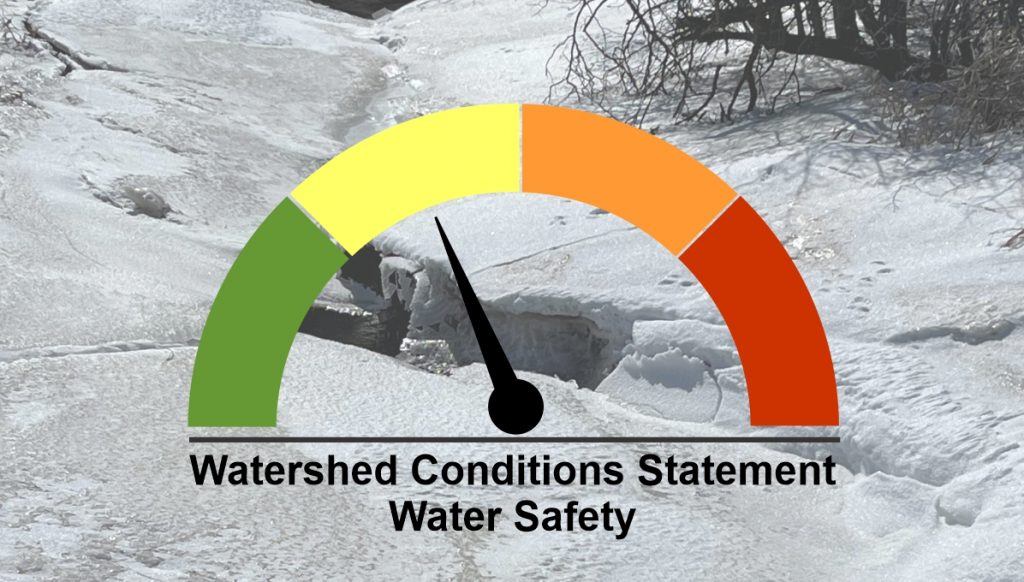
A low pressure system is continuing to track through the Great Lakes region today, bringing widespread rainfall to Southern Ontario. 15 – 30 mm of rain is expected today into Thursday morning.
Soils throughout the watershed remain fairly saturated from the snowmelt and rain earlier this week. River levels are expected to be similar to what was experienced these past few weeks, reaching or slightly exceeding bankfull conditions. Significant flooding is not expected with flooding limited to traditional flood prone area. Municipal staff should monitor local problem areas and be prepared for the closures of low lying roads.
Residents are reminded to use caution near all watercourses. Slippery streambanks and extremely cold, fast-flowing water will combine to create hazardous conditions.
Updates will be provided if conditions change. This message will remain in place until 4:00 pm on Friday March 25, 2022.
Contact:
Jeff Winzenried, Water Resources Technician
jwinzenried@mvca.on.ca
519-357-0890
Media Contact:
Jayne Thompson, Communications Coordinator
jthompson@mvca.on.ca
519-335-357 ext. 226 Cell: 519-357-6670
Types of Flood Messages:
Watershed Conditions Statement – Water Safety – General watershed conditions are being assessed for high runoff potential that could lead to flooding, and to remind the public of general river safety issues.
Watershed Conditions Statement – Flood Outlook – Early notice of the potential for flooding based on weather forecasts calling for heavy rain, snow melt, high wind or other conditions that could lead to high runoff, cause ice jams, lakeshore flooding or erosion.
Flood Watch – Flooding is possible in specific watercourses or municipalities. Municipalities, emergency services and individual landowners in flood-prone areas should prepare.
Flood Warning – Flooding is imminent or already occurring in specific watercourses or municipalities. Municipalities and individuals should take action to deal with flood conditions. This may include road closures and evacuations.
